
Mountain House Neighbors: Block Sources
A block lookup works only when each source is assigned a narrow question. GIS can show which parcels touch an address. The Assessor can supply owner fields where legally displayed, along with mailing information for one parcel. Planning files can explain a subdivision or project. Community pages may identify a public contact, but no source in the research set supplies a complete household roster.
| Source | What It Shows About a Block | Access |
|---|---|---|
| San Joaquin GIS parcels and District Viewer | Adjacent parcel layout, addresses, APNs, and school, fire, water, planning, or supervisorial districts | Free map browse; tax data is not included. |
| Assessment Map Viewer | Lot and block geometry, map-book lineage, and APN structure | Free map viewer and PDF maps. |
| County Assessor property route | Owner where legally displayed, mailing address, situs, value, characteristics, or exemption fields per parcel | Accela or counter; redactions and access limits apply. |
| Mountain House Planning and projects | Lots, project owner or applicant, APNs, status, and some HOA-maintained features | City documents; project contacts are not household proof. |
| Voter data | Address and registration fields only through an approved statutory purpose | Written application; no casual block browsing. |
| Community layer | Villages, schools, parks, voluntary civic contacts, and public meeting context | Public pages where available; no official household roster. |
Owners and occupants are different categories. A situs address is the physical parcel. A mailing address is where assessment or tax correspondence goes. A matching pair can support a cautious owner-occupancy clue, but it does not identify every person connected to the home. People who are not named on title, protected voters, and household members without a public role will not appear in the same way.
Note: A block table maps sources to questions; it does not create a public list of the people connected to each parcel.
Map Adjacent Mountain House Parcels
The county's San Joaquin GIS District Viewer and map applications provide the starting point for a block. There is no documented public radius or buffer report that returns every nearby owner in one click. The practical method is visual: locate the subject address, read the parcel shapes, record each APN, and repeat a permitted property lookup one parcel at a time.
- Locate the subject address. Search the District Viewer and zoom until streets and parcel boundaries are legible. Keep the subject parcel centered so the same side of the block stays in view.
- Read the surrounding shapes. Pan and zoom across adjoining parcels. Click or select each nearby location that the map identifies, then record its APN rather than copying a name from a visual label.
- Check the map lineage. Open the Assessment Map Viewer for the APN book, page or block, parcel, tract, lot, and easement context. This protects against joining two similar street addresses.
- Repeat the county lookup. Use the Assessor or Accela route for each APN where the field is available. Keep owner, mailing address, and situs address in separate notes.
- Stop at the lawful boundary. Do not turn adjacent parcel data into a public list of people. If the goal shifts to a whole named street, use the Mountain House by-street record chain instead of expanding a block search without a clear purpose.
The flow is address to parcel, parcel to APN, APN to an available record, and record to a carefully limited conclusion. It is not address to guaranteed neighbor identity. The map supplies geometry; the custodian supplies the record.
Mountain House Parcel Geometry and Record Keys
GIS answers where a parcel sits, while tax and title systems answer different ownership questions. The county warns that its District Viewer does not contain property-tax data. The Assessment Map Viewer helps decode the APN into map book, page or block, and parcel. Older title work depends on the same parcel continuity even when a modern street address did not yet exist.
- APN
- The assessor's parcel number. It is the stable map key used to connect a parcel, assessment reference, subdivision map, and related project record.
- Situs address
- The physical location of the parcel. It is the address used for many map, permit, and property searches.
- Mailing address
- The destination for correspondence. It can differ from the situs and may point to an agent, trust, or other office.
- Legal description
- Tract, lot, easement, or metes-and-bounds language that identifies land in a deed or recorded map.
Mountain House makes this distinction especially important. New streets and lots grew from agricultural parent parcels during a master-planned build-out. A current block can therefore have a clear map shape but no matching older street name. Use the APN, recorded tract, and legal description to bridge the address gap.
Note: APN continuity can survive a new street name, but it still requires a recorded map or legal description.
Mountain House Villages Shape the Block
Village names help place a block inside Mountain House's planned geography. Bethany is identified as village E, Wicklund as F, Altamont as G, Questa as H, Hansen as C, Cordes as D, and College Park as A/B. Lakeshore is J and Lakeview is K. Lakepoint is I, Palm Lake is L, and Town Center remain future or less built areas in the planning material.
These labels organize schools, parks, commercial space, projects, and public documents. They are not postal subdivisions and do not prove that everyone in a village belongs to one association. As of April 1, 2025, City planning figures for the listed current neighborhoods totaled 9,045 issued residential units and 8,467 finaled, including secondary units. Lakeshore had 162 issued and none finaled; Lakeview had 14 issued and none finaled.
Build-out numbers explain why the block record can look different from one village to another. A project file may reveal lot counts, an owner or applicant, an APN, a hearing, or an HOA-maintained alley. It still does not convert a planning contact into a neighbor. Treat the village as geographic context, then return to the parcel and its custodian.
Official Voter Data Cannot Browse a Block
California's voter rules close off the casual block search many people imagine. My Voter Status is for an individual checking their own registration. San Joaquin County's restricted voter file requires a written application, an approved election, political, scholarly, journalistic, record-review, or other documented lawful purpose, a wet signature, identification, and secure handling.
The California voter-data access regulations show why a voter record cannot be treated as a public neighbor roll.
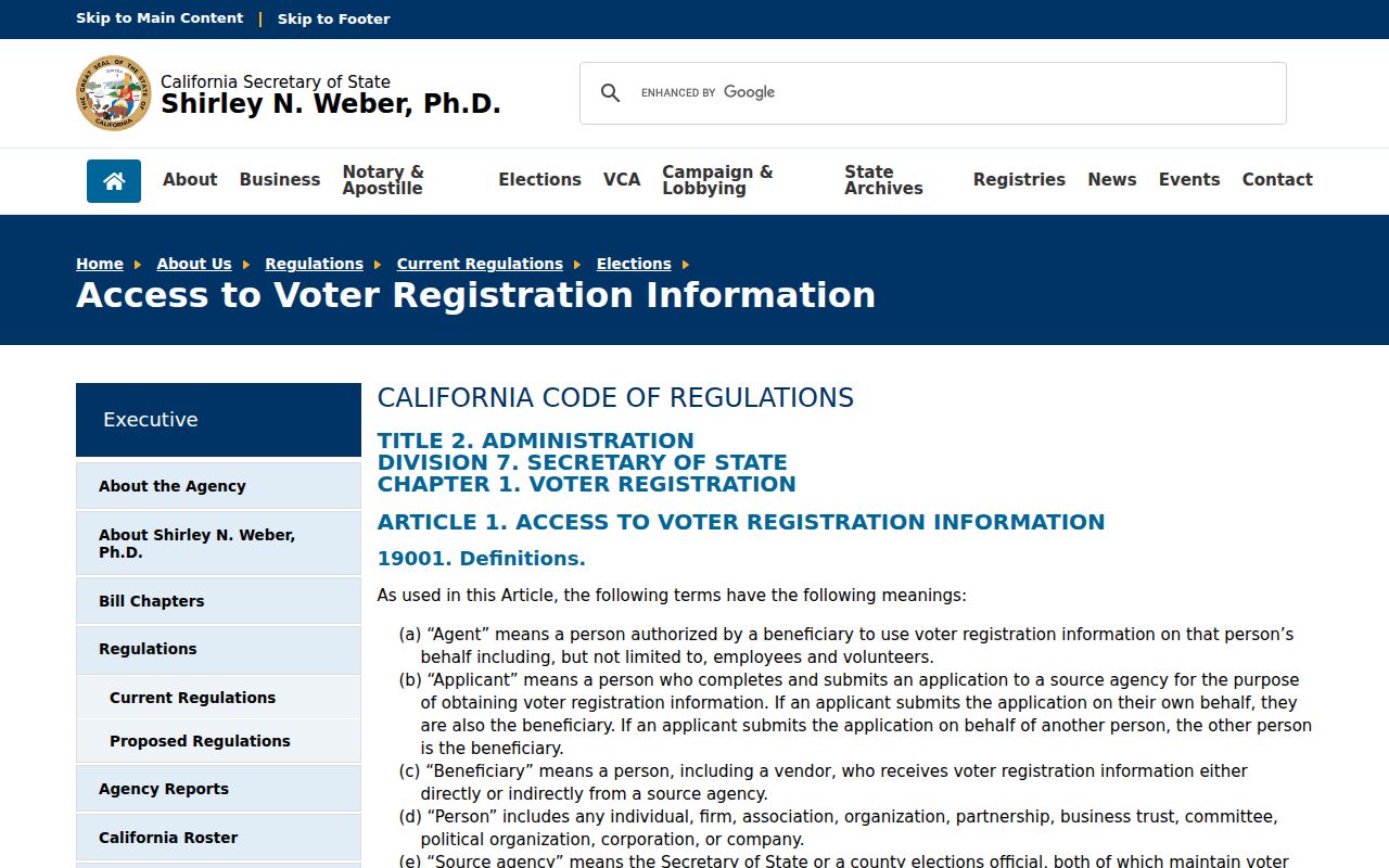
Controlled fields can include registration and address information, but home address, phone, email, precinct, unique identifiers, and signature receive confidentiality protections. The county form can support a qualified request for specific voters or approved products, not an open Mountain House block browse. Safe at Home participants can register confidentially, so an absent name must never be treated as evidence that no one lives there.
Planning Files and Mountain House Contacts
Community information is useful when it stays in its lane. Mountain House has no city-endorsed public HOA member directory or umbrella neighborhood-association roster in the research. Project and planning files can describe the physical features maintained by an association, while voluntary civic or congregation pages may publish an officer or contact. Neither source creates a public list of member households.
Mountain House Planning
Current neighborhood plans, permit totals, village structure, and city-era planning context. Public planning documents describe places and projects, not private membership.
Active Projects
Address- and neighborhood-specific files may state a project owner or applicant, APNs, lot counts, environmental documents, and hearing status.
Legacy CSD and CC&R Files
Older community-services records remain relevant, and the transition material kept certain conditions, covenants, and restrictions responsibilities with the District during the described period.
Voluntary Civic Contacts
A public officer or event contact can help with community history. A private membership roll remains private unless a custodian has lawfully released it.
Use a published contact for a narrow question about an event, project, or neighborhood history. Do not ask a voluntary group to disclose a private roster. A public planning document can place a parcel in a village without identifying the people who occupy it.
Note: A public project contact can explain a place without becoming evidence about the people who occupy it.
Owner Gaps for Mountain House Neighbors
Property records are strongest for the parcel and the recorded title party. They are weaker for household composition. A mailing address can be a trust, corporation, agent, or different residence. A permit can name an applicant, contractor, architect, or licensed professional. A homestead or exemption flag can support an owner-occupancy clue as of a qualifying date, but it does not identify every person at the address.
The county Sheriff's Who's in Custody search is a useful example of a record that must not be mistaken for a neighbor list.
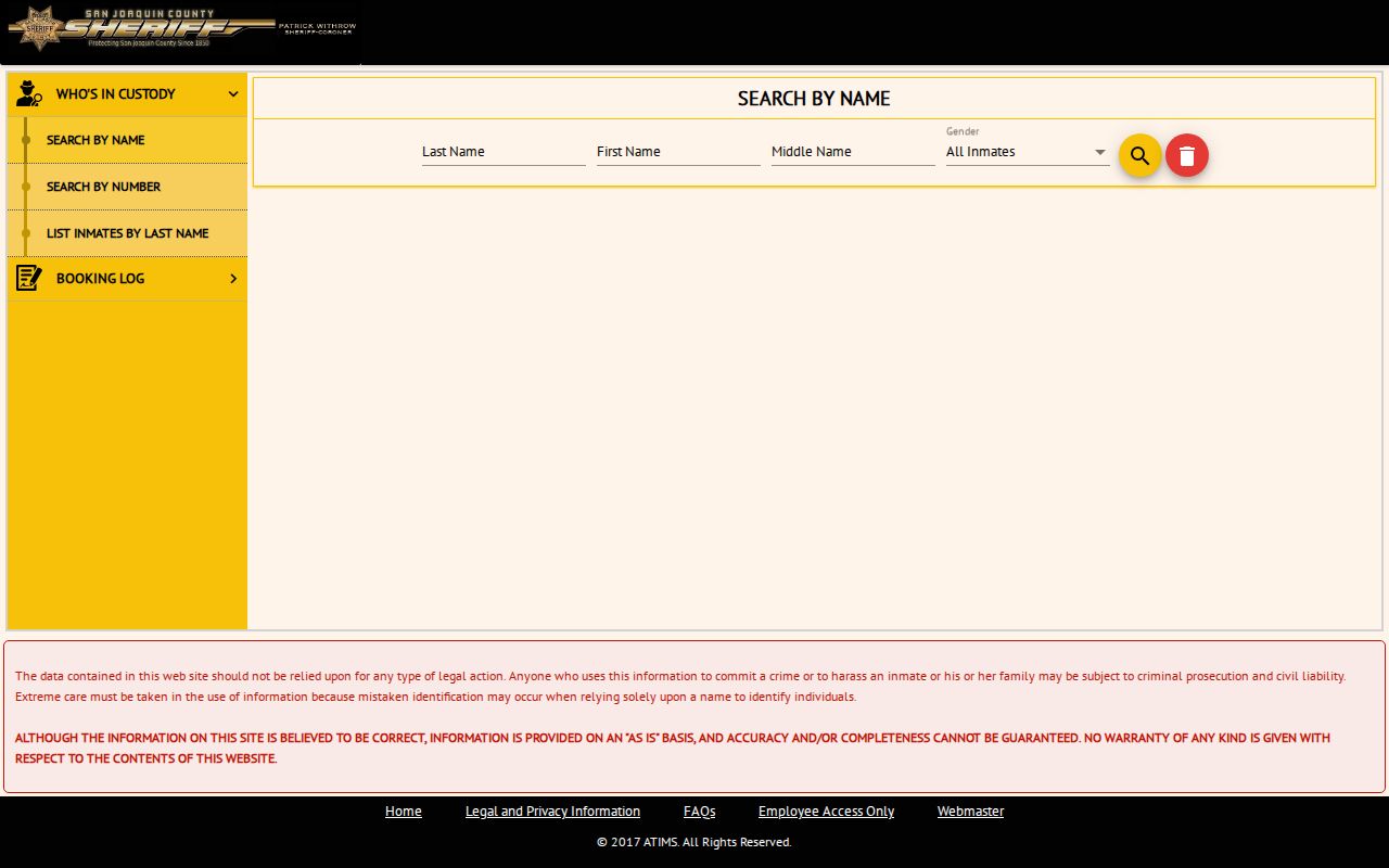
A custody result describes a current jail record where releasable, not the people on a nearby block. Old booking information is not proof of a current Mountain House address. The same caution applies to project contacts, business addresses, and public professional listings.
People not named on title may leave no public property trace. DMV information is restricted, utility customer records are not an open directory, and delivery details are not a lawful substitute for a public record. Keep the distinction between parcel, owner, occupant, and affiliation in every note.
Public Registry Warnings for Mountain House Neighbors
Some official tools publish a narrow public record for a defined safety or legal purpose. California's Megan's Law search is updated daily and carries warnings against misuse. It can show a registry profile, a map or address area, and other legally authorized details. It is not a general way to identify ordinary Mountain House neighbors.
The California Megan's Law search makes the warning part of the record context.
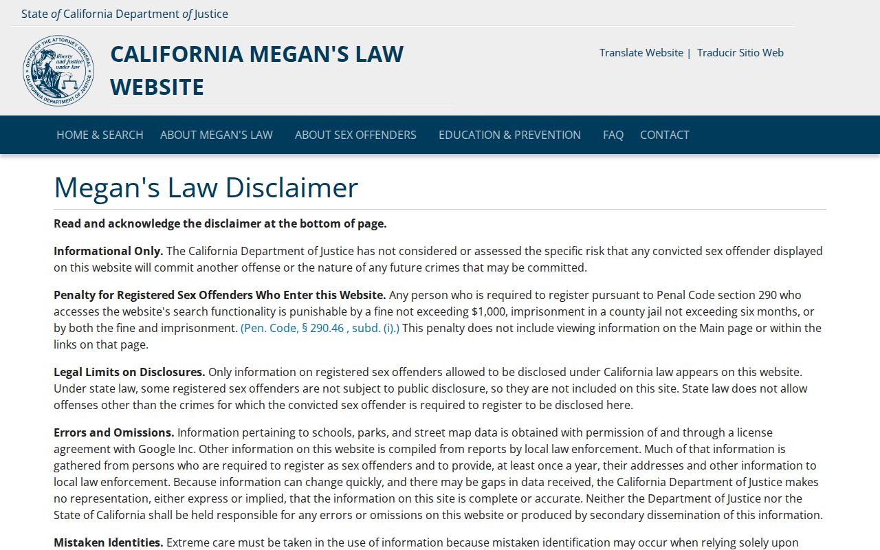
Read the use limits before relying on a registry result. An address area may be approximate or legally authorized for publication, and a match still requires careful identity handling. Do not copy, amplify, or use a protected record to watch, threaten, or intimidate a person.
Note: Registry publication rules are narrower than ordinary parcel research and should be read before any result is shared.
Official Rolls Versus Compiled Neighbor Data
Compiled commercial neighbor tools may combine public records, purchased data, and stale address files. They can charge a subscription, merge people with similar names, or blur owner and occupant. Official records are narrower, but their keeper, field definitions, date, and access rules are visible. The contrast matters when someone wants to understand a block without turning a guess into a fact.
| Question | Official maps and records | Compiled neighbor tools |
|---|---|---|
| Who controls the data? | County GIS, Assessor, Recorder, City Planning, or another named custodian. | A private compiler combining several source types. |
| What does it establish? | A parcel shape, APN, recorded party, permitted project field, or other defined record. | A lead that may be old, incomplete, or joined to the wrong person. |
| How is it checked? | Use the record number, APN, date, legal description, or issuing office. | Repeat the search with the custodian; do not accept a merged profile as proof. |
| What are the limits? | Protected fields, sealed matters, redactions, and purpose rules remain in force. | A paid result cannot override privacy, voter, court, DMV, or vital-record limits. |
For a Mountain House block, the official route is slower but clearer: map the parcels, look up permitted fields one at a time, and stop when the record no longer supports a claim. A compiled result can suggest a source to check, never a shortcut around the source.
Privacy Limits Around Mountain House Neighbors
California's Safe at Home program protects qualifying survivors and other eligible participants through address confidentiality. The program's rules, along with voter protections and redactions in public records, mean that a blank result can reflect lawful suppression rather than an empty parcel. Do not try to defeat an address-protection program or combine scattered clues to expose someone.
If a compiled record creates a consumer-data problem, the California Attorney General's consumer complaint route provides a public reporting channel.
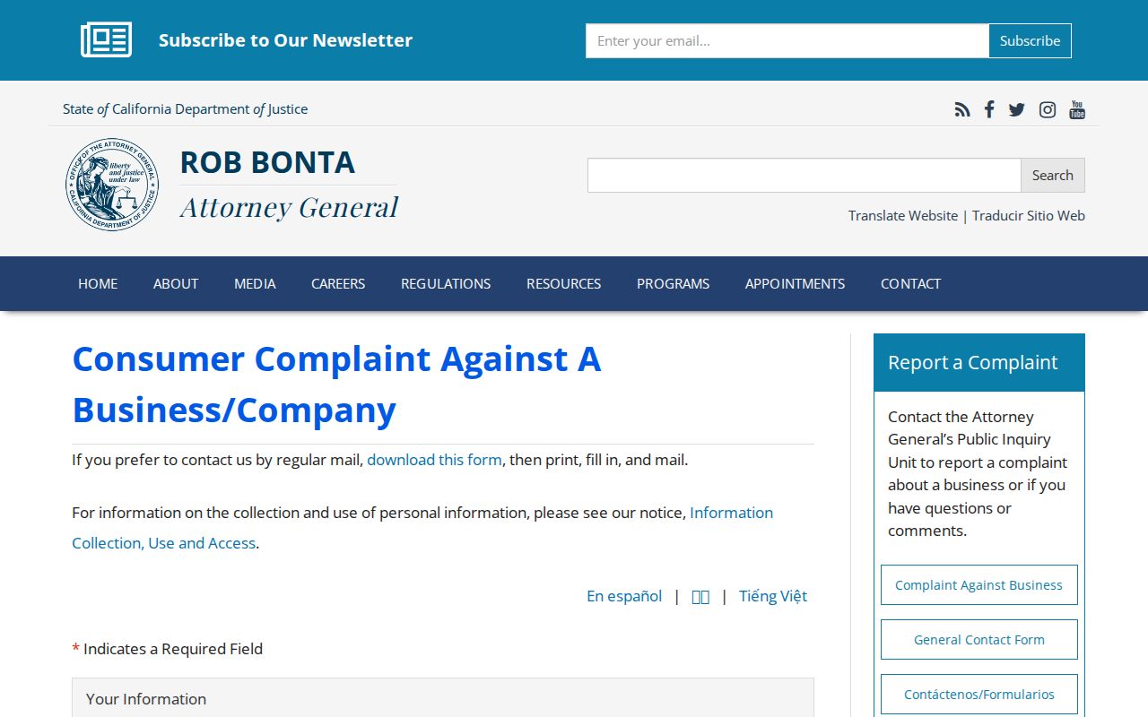
The complaint route does not alter a lawful deed, map, or court file. It is a channel for a data concern, while corrections to an official index belong with the office that created or maintains it. Preserve the APN or record number when reporting an error, and do not publish personal details to prove the point.
Lawful use. Mountain House block research is for personal, family-history, civic, or safety awareness. Do not use records to watch, stalk, threaten, harass, intimidate, or publish protected addresses; California stalking and voter-data rules carry serious consequences.
A careful neighbor lookup ends with a supported parcel fact, not a public dossier. Respect the boundary between knowing the block's geography and exposing a person.