
Mountain House Previous Residents: Era Sources
The best source depends on the question and the year. Deeds reveal title parties, directories may name a household, census schedules describe a household in a historic enumeration area, and permits date construction or alteration. Mountain House is a young planned community, so older evidence often follows the rural parcel that existed before a current street or village was built.
| Source | Years it covers | Where held | What it shows |
|---|---|---|---|
| Current APN and assessment | Current roll | Accela and Assessor route | Current owner when displayed, APN, situs, mailing field, and legal-description clues |
| Online grantor-grantee index | January 1, 1968 to present | Recorder self-service portal | Parties, document type, date, and instrument trail |
| Earlier deeds and maps | 1851 to 1967 | Recorder counter, digital and film | Chain of title and legal descriptions |
| County directories | 1852 to 1980 | San Joaquin Historical Museum | Named residents or businesses when a locality was included |
| Official county archives | 1850 to 1990 | Historical Museum | Assessment and plat books, Great Registers, maps, and planning evidence |
| Obituary index | 1850 to 1991 | SSJCPL and FamilySearch images | Name, date, newspaper citation, and family clues |
| Federal census | Through 1950 under the 72-year rule | Federal census databases, libraries, and FamilySearch | Household, relationship, birthplace, and location context |
| Modern permits and projects | Chiefly the 2000s to present | Mountain House Planning and legacy county files | Construction, final dates, applicants, and project ownership |
| Aerial photographs and maps | 1860 to 1990, with current GIS | Museum and county GIS | Landscape, roads, tracts, and subdivision change |
Use the current deed and APN for a modern address, the Recorder counter for the pre-1968 title trail, the Museum for countywide historical collections, and the library for obituary and genealogy help. A source outside its coverage range can still provide context, but it should not be used as a direct answer.
Note: Choose each source by the target year and by whether the claim concerns title, household presence, construction, or family connection.
Find a Mountain House Address
The APN keeps a house-history search attached to the same piece of land while street names, owners, and village construction change. Pull the current situs address and owner from the county property route, then record the legal description and acquisition instrument before looking for earlier names. An address alone can drift across a subdivision. The APN and recorded map provide the control points.
- Run the address through Accela Look Up Property Information, using Address mode first and Parcel Information or Owner mode after the result supplies an APN.
- Check the Assessment Map Viewer and recorded subdivision map for tract, lot, block, easement, and parent-parcel clues.
- Write down the current owner as a starting grantee, not as the name of every person who lived at the address.
- Find the acquisition deed and compare its legal description with the APN, lot, and situs before accepting the seller as an earlier link.
- Repeat the grantor-to-grantee search backward, changing from the online index to counter records when the year reaches 1967.
- Grantor and grantee
- The grantor transfers an interest. The grantee receives the interest. Their roles identify a recorded transaction, not a complete household.
- Chain of title
- The connected sequence of recorded transfers used to show how an interest in one parcel moved from an earlier party to a later party.
- Legal description
- The tract, lot, parcel, or metes-and-bounds wording that defines the land. It is usually more stable than an old street address.
Mountain House Past Owner Deed Trail
The online grantor-grantee window begins January 1, 1968, but the cutoff is an index-access limit rather than the beginning of title history. The San Joaquin County Recorder holds digital and film deeds and maps back to 1851. A modern owner can therefore cross the online boundary by carrying the exact party name, approximate date, book or page reference, instrument number, APN, and legal description to the office.
The San Joaquin County Assessor-Recorder-County Clerk Recorder Division is at Suite 260, 44 N. San Joaquin Street, Stockton, California 95202, phone 209-468-3939. General weekday hours are 8:00 a.m. to 4:30 p.m., with recording hours from 8:00 a.m. to 4:00 p.m. Self-assisted copies cost $1 per page, staff-assisted copies cost $3 per page, and certification costs $2 per document. Maps cost $5 plus $2 for certification.
The Recorder Division office page identifies the public counter and the county's older-document route.
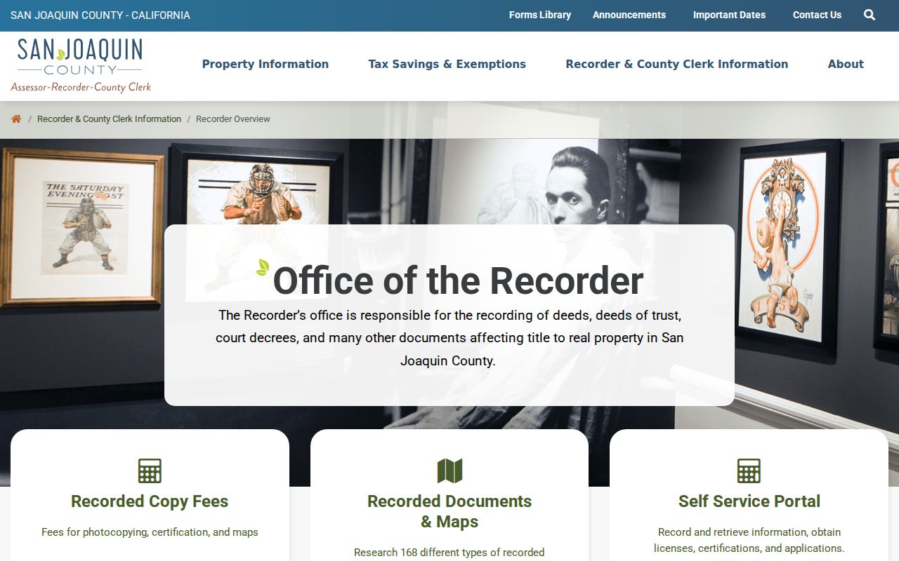
The recorder image points to the county source that bridges the online search to older title evidence. Every backward step still needs parcel confirmation.
Note: A pre-1968 search should carry the last online instrument, parties, date range, and parcel description to the Recorder counter.
Mountain House Address History
Most present Mountain House streets grew from agricultural parent parcels and later recorded subdivisions. A current lot can be traced through a tract or parcel map to the parent APN, then into older deeds and assessment books. That is the local version of an address-renumbering bridge. No verified citywide renumbering year was found, so a claim about a renamed road should rest on a recorded map, project document, or GIS archive rather than assumption.
Postal and municipal history also need separate dates. “Mountain House, California 95391” could appear before cityhood, while the record custodian for a planning or administrative file changed when incorporation took effect July 1, 2024. Deeds, assessment, tax, vital, election, court, and older planning records remain county-centered. Newer city council, planning, and business-license files belong increasingly to Mountain House. The Mountain House by-address record chain provides the present-parcel starting point.
Keep four fields apart in research notes: the situs is the physical parcel, the mailing address is correspondence delivery, the legal description defines the land, and the APN is the county parcel identifier. Their overlap is helpful. Their differences explain many false breaks in a house history.
Mountain House Directory and Census Pairing
County directories from 1852 through 1980 are useful for the people layer, but a future Mountain House address may have appeared under a rural locality or not at all. When a directory has a street or reverse section, preserve its exact number and spelling. When it does not, search the surname, initials, spouse, business, and nearby locality. The Mountain House city directories collection explains the Museum shelf and entry fields without treating a county volume as a complete city roll.
- Choose a directory year close to the deed or assessment date and note whether the volume covers rural routes.
- Search the surname with initials and spelling variants, then check the address or reverse section when one exists.
- Pair the result with the nearest public census year, using the historic township or enumeration district rather than only the modern city label.
- Compare spouse, age, birthplace, business, and address clues across adjacent editions instead of relying on one entry.
- Use an obituary, probate file, Great Register, or assessment entry to explain a gap before calling someone an earlier household member.
The federal census is public through 1950 under the 72-year release rule. The Museum's archive is appointment only at 11793 N. Micke Grove Road in Lodi, phone 209-331-2055. The Chavez Library genealogy collection, in-library databases, and family-history helpers provide a second access channel when a trip to the Museum is not practical.
Note: Countywide directory coverage can include rural residents, but it does not promise a separate Mountain House entry for every year.
Mountain House Permit Records
Modern permits are valuable for dating when a structure was approved, altered, or finalized. They do not establish who occupied the structure. Mountain House's master plan was assembled in the 1990s, with most present-day building after 2000. City Planning publishes permit totals and active-project documents by village, while older county files may hold the earlier application. Record the project address, APN, owner or applicant, contractor, filing date, issue date, and final date as separate fields.
Village context can narrow an era. Planning figures dated April 1, 2025 list issued and finaled totals for Bethany, Wicklund, Altamont, Questa, Hansen, Cordes, College Park, Lakeshore, and Lakeview. The spread between issued and finaled units shows why a project record and a completed structure can fall in different periods. A permit final can date construction; a deed, directory, census, or obituary is needed for a household claim.
Mountain House Obituary Records
Obituaries can end a name trail or connect a former owner to a spouse, child, cemetery, or next locality. The San Joaquin County Public Library genealogy service points to HeritageHub and a digitized obituary index covering 1850 through 1991. The Genealogical Society offers a $5 San Joaquin obituary lookup. Use the index for a citation, then seek the newspaper or death record rather than treating the card as the whole proof.
Probate petitions, notices, and estate files can explain why a deed moved after a death. San Joaquin Superior Court Records Management provides kiosk, mail, and online request channels for eligible archived material, subject to retention and privacy limits. A federal bankruptcy or civil case belongs in PACER only when the legal trail genuinely calls for a federal file. PACER requires an account and charges $0.10 per page, capped at $3 per document for most documents; quarterly charges of $30 or less are waived.
The PACER access point is a federal index, not a current-resident source.
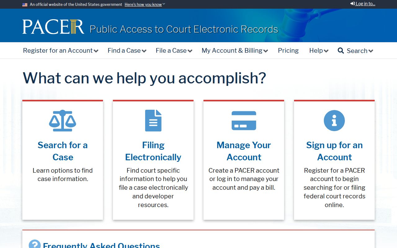
That distinction keeps an estate or title clue tied to the right case and parcel instead of turning a court name into a present address claim.
Mountain House House-History Maps
Sanborn fire-insurance maps are a tempting shortcut for house history, but no verified Mountain House Sanborn coverage was located. The Museum identifies Sanborn maps for Stockton, Lodi, and Clements. For a Mountain House parcel, aerial photographs, assessment and plat books, recorded subdivision maps, deeds, permits, and current GIS are the stronger local sequence.
The gap reflects community age and development pattern. A 1990s planned community can have a detailed modern tract map while lacking the older urban fire-insurance series that exists for established county towns. Do not turn the absence of a Sanborn sheet into a claim that a parcel was empty. Use the available map, deed, and assessment evidence for that year.
Note: A missing Sanborn sheet is a coverage limit, not evidence that the parcel or its earlier occupants did not exist.
Past Households in Mountain House
Previous residents can mean prior title parties, a directory-listed household, or people connected to a rural parent parcel before the current lot existed. Those categories should stay labeled. A deed may show a seller who never lived at the site. A directory may omit a household or capture only a business address. A census entry follows historic enumeration geography. A permit identifies a project participant. The strongest house history states exactly what each source proves.
Family history, an estate question, a reunion, or research into the land's development can justify a careful trail. Living household members, protected voters, utility customers, and people whose records are sealed may not be visible. A missing name is not evidence that a person was absent, and an old name is not evidence of a current location.
Lawful house history. Research into Mountain House previous residents is for family history, genealogy, estate work, and personal curiosity. Do not use records to stalk, harass, threaten, or track a living person, and do not try to defeat a confidentiality or address-suppression program.
Mountain House Past Resident Privacy
California privacy tools address compiled commercial profiles, not the erasure of a lawful county deed or court index. The California Consumer Privacy Act, as amended by CPRA, gives covered consumers rights to know, delete, correct, opt out of sale or sharing, limit sensitive-information use, and receive nondiscrimination. Publicly available government-record information is excluded from CCPA personal information, so a broker deletion request does not rewrite the Recorder's original.
California's DELETE Act created DROP, a single encrypted request for registered data brokers. The Attorney General's February 18, 2026 notice says the platform reaches more than 500 brokers; deletion duties begin August 1, 2026. A person can use the registered-broker process, narrow identity verification, save confirmation, and repeat the request if a profile returns. Safe at Home and other statutory protections can suppress qualifying addresses. Suppression is a safety measure, not a gap to work around.
The California Attorney General's DROP announcement explains the current timing and deletion route.
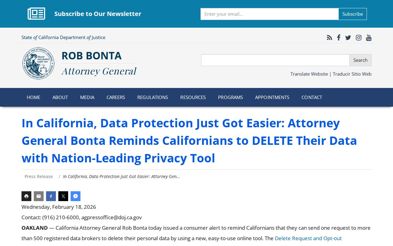
The privacy notice matters when an old address is easy to find but a protected person is not. Preserve the distinction between correcting a commercial profile and changing an official record.